
Lowell ZIP Code Directory Coverage
Lowell has five ZIP codes in Lowell city records: four serve geographic areas and 01853 is for post-office boxes only. The official City of Lowell ZIP map displays 01850, 01851, 01852, and 01854, and tells users to verify any Lowell address with USPS. The Lowell map is an orientation tool. Its broad colored areas should not be used to assign a disputed Lowell parcel, resident record, or neighborhood name.
| Postal area | Areas covered inside Lowell | Post office | Lowell record note |
|---|---|---|---|
| 01850 | Centralville and northeastern Lowell, north of the Merrimack River and east of Beaver Brook; Christian Hill east of Bridge Street | Lowell geographic ZIP; exact station name was not located | Use the Lowell map and USPS for an exact assignment |
| 01851 | Map-based central and southwest Lowell area, including Highlands or Lower Highlands and parts of Belvidere or central Lowell | Lowell geographic ZIP; exact station name was not located | Lowell neighborhood edges are not ward lines |
| 01852 | Central Lowell, Downtown, and broad southern and eastern sections, including Back Central, South Lowell, and parts of Belvidere | Lowell geographic ZIP; exact station name was not located | Lowell City Hall and many civic addresses use this ZIP |
| 01853 | No geographic area on the city map | Post-office-box only | Do not tie it to a residential parcel |
| 01854 | Lowell Pawtucketville, UMass Lowell North Campus, the Acre, and areas around University Avenue, Mammoth Road, and Varnum Avenue | Lowell geographic ZIP; exact station name was not located | Verify the Lowell delivery assignment before a record search |
The Lowell postal directory therefore has one firm rule: a Lowell city mailing label is not the same thing as a legal municipal boundary. The Lowell city map documents the broad geography, while USPS provides the address-level confirmation the map cannot supply.
Lowell 01850 in Centralville
01850 is the northeastern Lowell ZIP on the Lowell city map. The Lowell city budget description places Centralville north of the Merrimack River and east of Beaver Brook, with Christian Hill east of Bridge Street. Those terms are helpful in a Lowell postal-area note because they describe a broad local area. They do not replace a Lowell address confirmation or a Lowell parcel lookup, especially near the river and the city edge.
For a Lowell address in this area, start with USPS verification, then use the Lowell GIS viewer to identify the Lowell parcel. Its Lowell street and address-range tools are better suited to a real address than a ZIP-wide query. Copy the Lowell GIS ID or account reference to the Lowell assessor record, where the property location and owner mailing fields can be read separately.
Lowell 01854 and Northern Areas
01854 covers Lowell Pawtucketville, UMass Lowell North Campus, and the Lowell Acre, with older sections around University Avenue and Mammoth Road and newer areas around Varnum Avenue. A postal directory can place those Lowell neighborhoods in the same broad delivery frame, but their historical and civic meanings differ. Pawtucketville, for example, was annexed to Lowell in 1874, so an earlier Lowell directory, census area, or deed town field may use a different municipal description for a place that is now treated as Lowell.
Use the Lowell city map, a year, and the precise Lowell street together. The Lowell Acre and Pawtucketville may share 01854 while appearing under different Lowell neighborhood, district, or historical sources. An old Lowell directory city line should be checked against its publication year rather than normalized to today’s ZIP label.
Lowell 01851 and 01852
The Lowell city map places 01851 across a central and southwest geographic area. It includes map-based portions of Lowell Highlands, Lower Highlands, Belvidere, and central or southern Lowell. 01852 covers central Lowell and Downtown areas as well as broad southern and eastern sections, including Back Central, South Lowell, and parts of Belvidere or lower areas. Lowell City Hall and many Lowell civic organizations use 01852, which makes it common in official contact information without making it the city’s only civic ZIP.
These Lowell descriptions deliberately use broad terms. Lowell has eight principal neighborhood names in Lowell city materials, including Acre, Back Central, Belvidere, Centralville, Downtown, Highlands, Pawtucketville, and South Lowell. Those names do not nest cleanly inside five Lowell ZIP labels. Pair a Lowell neighborhood with a street, parcel, map, and date when research depends on where a record belongs.
Note: The city map is the local geographic reference, but USPS confirmation controls the ZIP assigned to a specific mailing address.
Why Lowell 01853 Has No Parcels
01853 is the important exception in a Lowell ZIP search. The city budget and ZIP material identify it as a post-office-box ZIP, and the official city map gives it no geographic area. A box ZIP identifies a delivery arrangement, not a street location. It should not be used to infer a neighborhood, locate a land parcel, or connect a person to a physical address.
That distinction protects against a common error: treating every five-digit ZIP as a map area. For a property, permit, deed, or GIS search, use the physical situs address and parcel or account identifier. For correspondence, preserve the mailing address as it appears, then distinguish it from the situs in notes.
Find Lowell Records Within a ZIP
No Lowell portal inspected for this project returns a public roster for everyone in a ZIP. The state voter page uses ZIP only as one required field for an individual’s own status check, alongside first name, last name, complete date of birth, and an agreement checkbox. The current Lowell GIS screen has address range, street, owner, account or parcel, and GIS-ID inputs, but no visible ZIP filter. The Lowell Registry of Deeds uses town, party, document type, date, and property fields rather than ZIP.
- Confirm the exact Lowell mailing address with USPS before treating the ZIP as a search key.
- Use the Lowell city ZIP map to place the address in a broad Lowell area, then search the Lowell street or address in GIS.
- Copy the Lowell GIS ID, account, or parcel reference into the Lowell assessor route to distinguish property location from owner mailing information.
- Use the owner name or legal description in the Lowell Middlesex North deed index when the question concerns recorded land.
- For public local voter data, direct a narrowly scoped written request to Lowell Election and Census, identifying the street or ward, date range, fields, and format.
Once a ZIP has narrowed an address to a real street, the Lowell street directory has the fuller parcel, deed, permit, and historical street-listing process. A ZIP is a starting geography, not the database’s universal search field.
Lowell Postal Search Field Limits
The field choices explain why a postal directory must not promise a complete person search. The Secretary’s voter-status page accepts a residential ZIP only after an individual’s identifying fields are entered. GIS makes address and parcel work possible but does not show a visible ZIP-wide field. The Vision assessment database may have additional dynamic controls, but a ZIP filter was not confirmed in the inspected official material.
| Official route | Available field | How ZIP is used | What to do instead |
|---|---|---|---|
| Secretary voter status | First name, last name, DOB, residential ZIP, agreement | Identity check for one person | Do not use it to enumerate a ZIP |
| Lowell GIS | Address range, street, owner, account or parcel, GIS ID | No visible ZIP field | Search the verified street or address |
| Vision assessor database | Address, owner, or parcel route | ZIP filter not confirmed | Carry the GIS identifier to the card |
| Middlesex North Registry | Town, party, document, book, property, or date | Not a ZIP search system | Use party or legal description after parcel work |
Local voter lists are held by Election and Census at 375 Merrimack Street, Basement Room 5. The department is the municipal request route for existing local records. Confidential voters, minors, protected addresses, contact information, and other withheld fields must remain excluded from any public release.
Lowell ZIP Addresses and Permits
When a ZIP has led to an exact address, permits may supply a useful address-based record. The city’s online permitting instructions direct users to search one field at a time, prefer parcel ID, use uppercase address information, and link an account to a Contractor or Customer ID before uploading documents. The page also describes login and account requirements. Current online availability is limited, so older files and categories may need Development Services assistance or a records request.
The Lowell online permitting page below shows the city’s address-search guidance after a postal-area search has been reduced to one location.
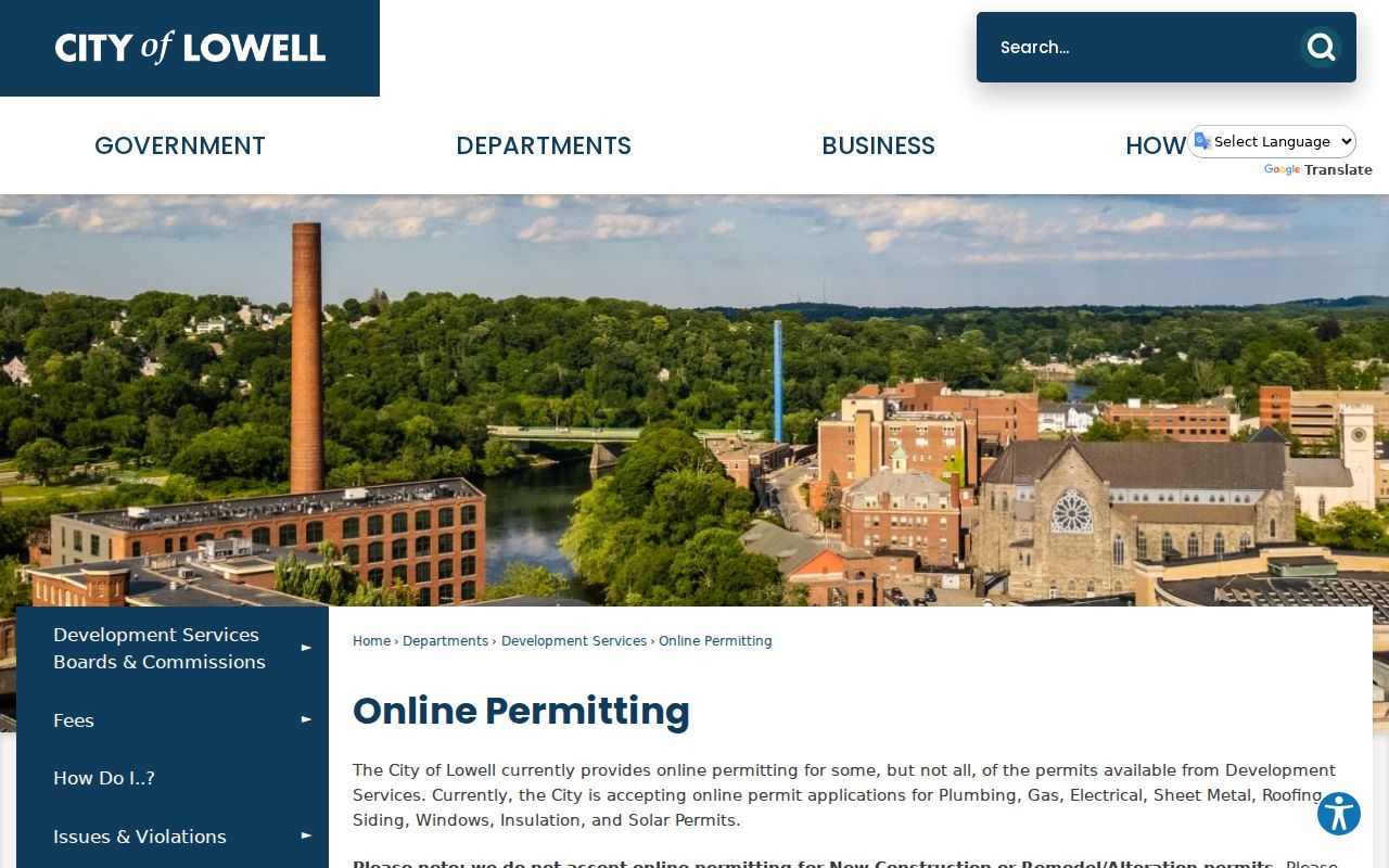
Permit results are address and project evidence, not a list of current people at the address. Keep the parcel ID, street address, date range, and source together so another search can be checked at the city office.
Lowell ZIP Boundaries and City Lines
ZIP code boundaries are postal geography, not city, ward, neighborhood, or parcel law. A Lowell mailing address can fall near a boundary with Dracut, Chelmsford, Tewksbury, or Tyngsboro, and the postal result may not mirror the city line. The research did not locate official USPS address-by-address mismatch examples, so it is safer to verify each address rather than claim a fixed border pattern.
Boundary check. Keep the mailing ZIP, property situs, parcel identifier, and deed legal description as separate labels. They serve different custodians and cannot be substituted for one another.
Street names can introduce another mismatch. Lowell records show a verified 1991 change from Hilton Street to Sheraton Way, while University Avenue and Moody Street are a historical alias lead that requires confirmation. A ZIP will not repair an old street-name conflict; use the dated city record, GIS, map, and deed trail.
Lowell ZIP Code Directory Terms
Postal terms are easy to confuse with land-record terms. Use the exact address and its context before moving a result between systems.
- ZIP code
- A five-digit postal delivery area. In Lowell, it can be geographic or limited to post-office boxes.
- ZIP+4
- An added four digits that narrow delivery routing within a five-digit ZIP. It does not replace a parcel or legal description.
- PO-box ZIP
- A ZIP used for post-office boxes, such as Lowell 01853. It has no geographic parcel area on the city map.
- Carrier route
- A postal delivery grouping used for mail routing. It is not a city boundary, voter district, or ownership record.
For deed research, the legal description identifies the land. For assessor work, use the parcel, account, map, or GIS ID. For a mailing question, keep the verified USPS address. This separation makes postal-area notes easier to verify later.
Lowell ZIP Code Directory Fallbacks
When the ZIP does not produce an answer online, follow the address to the proper custodian. The GIS viewer supplies parcel context. The assessor can verify the property card. Middlesex North Registry of Deeds can provide the recorded land trail through its free online index, counter, pre-1976 grantor-grantee modes, and unindexed pre-1855 path. Pollard Memorial Library holds historical street listings, maps, newspapers, and local reference resources for address work that pre-dates current portal data.
For municipal records, Massachusetts Public Records Law, M.G.L. c. 66, § 10, allows a written request for existing records. Give the office the address, relevant ZIP only as a mailing detail, a clear date range, the record type, desired format, and a request for a fee estimate. The initial response is generally due within 10 business days. A specific request is more useful than asking an office to identify everyone in a broad postal area.
Note: Record the address verification date because postal assignments, map layers, and assessed values can change.